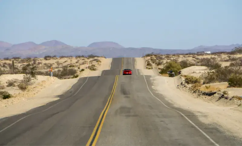
California is the final chapter of Route 66, but it is also one of the easiest parts of the Mother Road to plan badly. The famous name makes the route sound like a single scenic highway; in reality, historic alignments appear and disappear beside Interstate 40, I-15 and urban streets. A good trip therefore depends less on driving every surviving mile and more on choosing the stretches where the history, landscape and roadside character still justify the detour.
The California section works especially well for travelers who want a road trip with a narrative. You enter beside the Colorado River, cross the Mojave, pass railroad and mining landscapes, descend through Cajon Pass, then finish in the dense Los Angeles basin at the Pacific. If you already plan to visit Mojave National Preserve or Santa Monica, Route 66 can connect those places instead of becoming a separate trip.
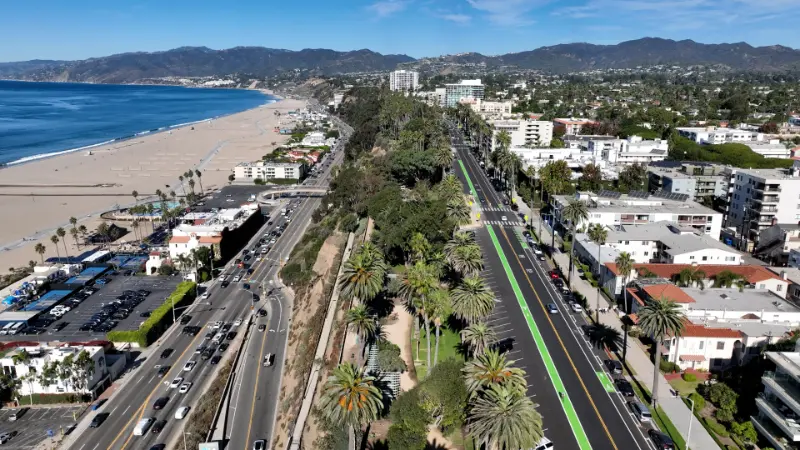
In 2026 the centennial has renewed interest in the road, so popular photo stops can be busier than their isolated setting suggests. I would not build the itinerary around a long checklist. Pick a handful of meaningful stops, allow daylight for desert driving, and keep fuel and water margins conservative.
Quick planning summary
| Best for | Road-trip fans, history lovers, photographers and families who enjoy short roadside stops |
|---|---|
| Ideal time | 4 days for California only; 3 is possible but noticeably more rushed |
| Best seasons | October–April for the Mojave section; shoulder seasons are easiest overall |
| Start / finish | Needles → Santa Monica, or reverse the route |
| Key planning rule | Treat historic Route 66 as a chain of surviving alignments, not one continuously signed modern highway |
Who this trip is really for
This guide is designed for first-time visitors who want a practical version of California Route 66 road trip, not an itinerary that assumes unlimited time, perfect weather or endless energy. The strongest plan is the one that gives you a clear priority each day and leaves enough margin for parking, meals, road conditions and the unexpected. If your group includes children, older travelers or different interests, use the itinerary as a framework rather than a schedule you must obey minute by minute.
I also recommend deciding in advance what would make the trip feel successful. For some travelers that is one iconic view; for others it is history, food, a boat day, an accessible experience or simply a relaxed overnight. That decision prevents the common California mistake of driving farther just because another pin appears on the map.
A realistic itinerary
Day 1 — Needles to Barstow
Start near the Colorado River, photograph the Route 66 gateway and old railroad fabric in Needles, then move west through the Mojave. The Amboy/Roy’s area is the classic visual stop, but opening conditions for individual businesses can change. Continue toward Ludlow and Barstow rather than trying to linger at every abandoned structure. Barstow is the practical first overnight because it restores normal choices for fuel, food and lodging.
Day 2 — Barstow to San Bernardino/Pasadena
Use the morning for the California Route 66 Museum area in Victorville if it fits your interests, then follow surviving historic alignments toward the Inland Empire. The descent through Cajon Pass marks a real change from desert to metropolis. This is also the day to include Calico only if you genuinely want a reconstructed mining-town stop; otherwise save those hours for historic roadside architecture and a relaxed arrival.
Day 3 — Pasadena, Los Angeles and classic urban Route 66
Historic Route 66 becomes city streets. Colorado Boulevard through Pasadena is more rewarding when walked in short sections than when treated as a drive-by attraction. Continue west through Los Angeles with realistic traffic assumptions. The goal is not to follow every historic turn but to connect a few pieces of road culture without spending the whole day watching navigation.
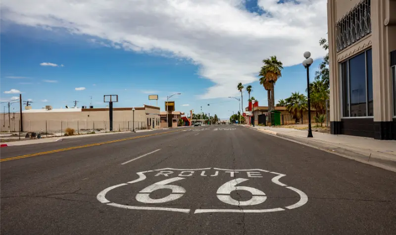
Day 4 — Finish at Santa Monica
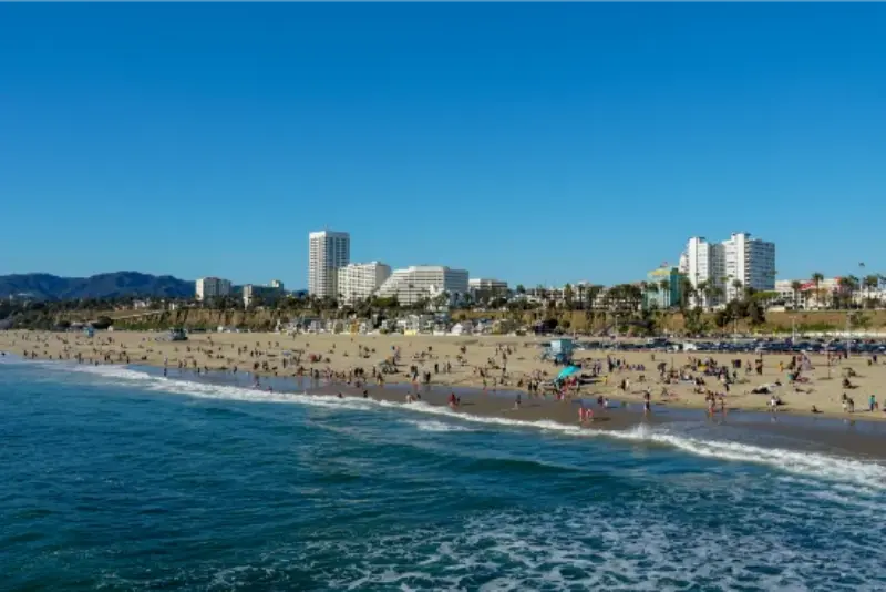
End at the Pacific with time to walk the pier and beach rather than treating the symbolic End of the Trail sign as a five-minute photo. The original historic terminus changed over time, so think of Santa Monica Pier as the modern ceremonial finish. A late-afternoon or sunset ending gives the road trip a satisfying contrast to the dry desert where it began.
Getting there and getting around
Carry offline maps because some historic alignments cross sparse desert areas with weak reception. Modern freeways are your safety net: use them whenever heat, darkness, road damage or fatigue makes the older alignment a poor choice. California 2026 Route 66 material from Visit California is useful for current centennial-era stops and trip ideas.
Fuel in the Mojave before you need it. I would leave Needles with a full tank, top up again whenever convenient, and keep drinking water in the car even outside summer. Historic-road travel tempts drivers to chase isolated signs and abandoned structures; stay on legal public roads and do not enter fenced or private property.
Best time to visit
October through April is the most comfortable period for the desert section. Winter nights can be cold and windy, while spring can be excellent until temperatures climb. Summer is possible only with a very conservative plan: start early, minimize roadside walking, avoid relying on old vehicles or marginal tires, and carry significantly more water than you think you will use.
In the Los Angeles basin, weather is less of a constraint than traffic. A weekday can still be slow, so avoid building a same-day schedule that assumes freeway travel will match the theoretical drive time. Route 66 is more enjoyable when the urban section is treated as a sequence of neighborhoods rather than a race to Santa Monica.
Where to stay
Barstow is the practical desert overnight. Pasadena is a good second base because it gives you an attractive evening and places you on historic Colorado Boulevard; see my Pasadena guide. For the final night, Santa Monica is the celebratory choice, while West Hollywood or another central Los Angeles base can reduce cost depending on your broader itinerary.
The biggest lodging mistake is trying to sleep only in “historic” properties without checking recent reviews, parking and air-conditioning. Nostalgia is part of the fun, but a road trip works better when the hotel also gives you reliable rest.
Families, seniors and accessibility
Families can make Route 66 enjoyable by turning the trip into a series of short discoveries rather than long museum days. Children usually respond better to old signs, trains, diners and desert landscapes than to a detailed chronology of highway design. For a broader family framework, use the planning principles in California with Kids.
For senior travelers or anyone with limited mobility, most of the classic experience can be enjoyed from short roadside stops, museums and viewpoints. The harder part is heat exposure and uneven old-town sidewalks, not hiking. Choose accessible lodging, avoid midday desert heat and keep the car close. A companion guide is Accessible California.
How to think about the budget
Route 66 can be relatively inexpensive because the road itself is the attraction. Your main costs are fuel, lodging, food and optional museums. Budget more for the urban final nights than for the desert. A four-day California-only trip also saves money compared with trying to combine it with a rushed multi-state drive.
If you are pricing the trip, separate “road-trip essentials” from nostalgia purchases. Fuel, tires, roadside assistance, water and a comfortable hotel matter more than souvenirs. My California road-trip budget guide gives a useful framework for calculating daily costs.
Mistakes I would avoid
- Driving every old alignment. Some segments add history; others add risk and little reward.
- Crossing the Mojave in peak afternoon heat. Route 66 is not worth heat stress.
- Assuming every vintage business is open. Hours and ownership change; confirm the places that matter to you.
- Underestimating Los Angeles traffic. Build buffers into the final two days.
- Stopping unsafely for photos. Use legal pullouts and never stand in active lanes.
- Turning the trip into a checklist. A few longer stops create better memories than twenty rushed photographs.
One additional mistake is planning the day around the most optimistic drive time shown by a mapping app. California trips often involve parking searches, short walks, restroom stops, weather checks and slower scenic roads. A 30-minute buffer can be more valuable than another attraction on the list, especially when your next stop has fixed opening hours or when you are driving after sunset.
How to combine this with a larger California trip
Route 66 combines naturally with Mojave National Preserve if you have an extra day, although that is a true detour rather than historic Route 66. At the western end, add Santa Monica and Pasadena rather than immediately leaving Los Angeles.
If you are continuing into the desert parks, do not stack Route 66, Joshua Tree and Death Valley into one long day. The distances look manageable on a map but become tiring once you include stops. Use the pacing rules in my California road-trip mistakes guide.
Practical planning notes before you leave
Check the official source for this trip shortly before departure: current visitor information. Opening hours, road access, parking, fire restrictions, shuttle schedules or facility conditions can change after an article is published. I prefer to keep the route flexible enough that one closure does not ruin the entire day.
Download the map or key directions before you leave reliable service, carry more water than you expect to need, and keep a light layer in the car even when the forecast looks warm. California’s coastal, desert, valley and mountain microclimates can make the temperature at your destination very different from the city where you started.
For a road trip, refuel before entering a sparsely serviced area and avoid arriving at an unfamiliar trailhead or rural lodging after dark. These are small decisions, but they are usually what separates a calm itinerary from one that feels rushed and fragile.
Frequently asked questions
How many days do I need for California Route 66?
Four days is a comfortable first trip from Needles to Santa Monica. Three works if you skip several secondary stops; two turns the route into mostly driving.
Can I drive all of historic Route 66 in California?
No single uninterrupted modern road preserves every historic alignment. Use current maps and legal public roads, and switch to freeways where alignments are closed, unsafe or impractical.
Is the Santa Monica Pier the original Route 66 endpoint?
It is the modern symbolic endpoint. Historic terminus locations changed over time, which is part of the road’s story.
Is an EV practical?
It can be, but plan charging before entering sparse desert stretches and do not assume a charger shown on an old Route 66 map is still operating.
My final planning rule
For me, the best California Route 66 trip is not the one that proves you touched every remnant of pavement. It is the one that lets you feel the transition from river to desert, desert to city and city to ocean without driving tired or turning history into a scavenger hunt.