Big Sur can be excellent with children, but the family version is not the same itinerary adults often build for themselves. Long cliffside drives, limited bathrooms, uneven trails and weak mobile service mean that a day packed with viewpoints can unravel quickly. Families do better with fewer stops, predictable food and restroom breaks, and one or two places where children can move rather than repeatedly getting in and out of the car.
This guide is designed for families with toddlers through teenagers. It explains which Big Sur experiences are realistic, when Monterey or Carmel makes a better base, and how to keep Highway 1 scenery from turning into a back-seat endurance test.
Should you stay in Big Sur with kids?
You can, but many families are more comfortable in Monterey, Carmel or Cambria because those towns provide more restaurants, grocery options and hotel choice. Staying inside Big Sur reduces driving and can be wonderful for older children who enjoy nature, but remote lodging may require more advance meal planning.
Our Highway 1 overnight-stop guide can help you choose the base rather than booking the first property with a Big Sur address.
How many days does a family need?
One day is enough for a scenic introduction if you start nearby. Two days is better because you can separate northern viewpoints and Point Lobos/Carmel from the deeper Big Sur coast. A same-day round trip from Los Angeles is not a family-friendly way to experience the region.
Use our Big Sur two-day guide as the adult framework, then simplify it with the family priorities below.
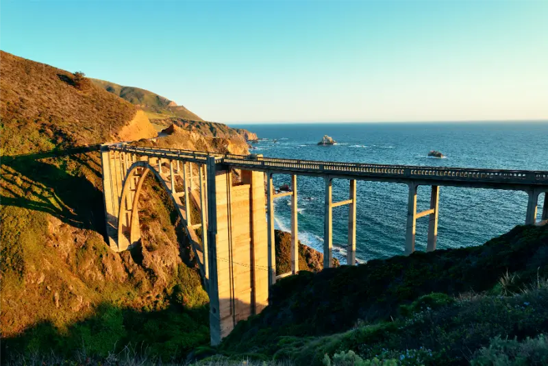
Stop 1: Bixby Creek Bridge — keep it short
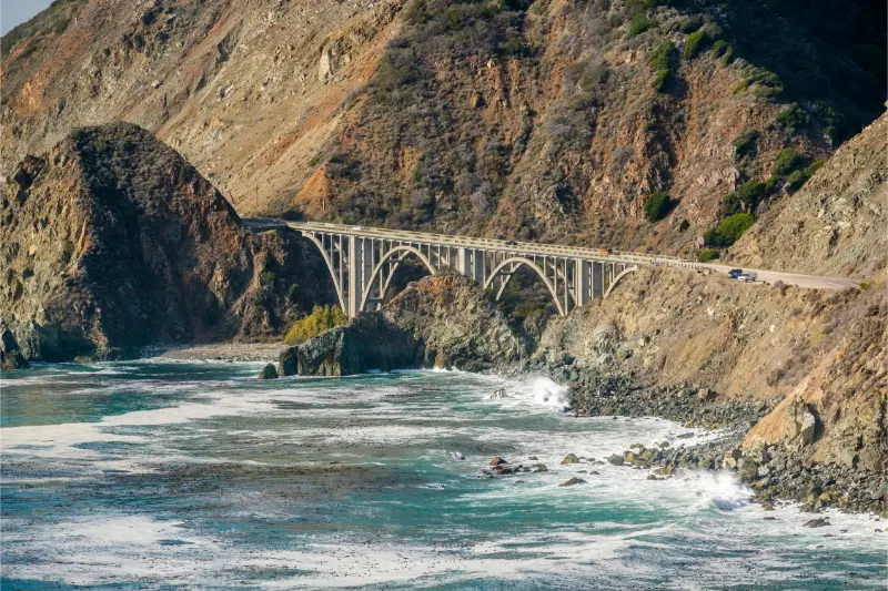
The bridge is iconic, but parking and roadside behavior are the issue. Use legal parking only, keep children away from traffic and cliff edges, and leave if the pullout is chaotic. A five-minute safe stop is better than forcing a photo when conditions are poor.
This is a viewpoint, not the place to let young children burn off energy.
Stop 2: Point Lobos before or after Big Sur
Point Lobos is one of the best family nature stops in the region because it offers several shorter trail options, wildlife viewing and dramatic coast without requiring a full wilderness hike. Parking can fill, so earlier is usually easier.
Use our Point Lobos guide to select one realistic loop instead of trying to cover the entire reserve.
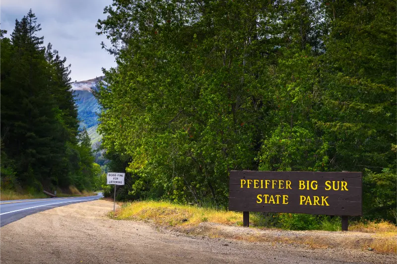
Stop 3: Pfeiffer Big Sur State Park
A redwood-and-river environment gives children a different experience from cliff viewpoints and provides a useful place to walk. Trail and day-use conditions can change after storms, so check current California State Parks information.
This is often a better ‘movement stop’ than adding three more roadside overlooks.
Stop 4: McWay Falls viewpoint
McWay Falls is a classic stop because the waterfall and cove can be appreciated without a long hike when the relevant viewing route is open. Families should understand that the beach below is not a normal swimming stop and access restrictions protect both people and the landscape.
Check current trail status before promising children a particular viewpoint, especially after winter storms.
Beaches: choose carefully
Big Sur beaches are beautiful but can have powerful surf, cold water, steep access and limited facilities. Pfeiffer Beach is popular but requires a separate access road and may have parking constraints; other coves are better viewed than treated like family swimming beaches.
For a classic sand-and-play beach day, Carmel or Monterey-area beaches may be easier. Big Sur’s value is scenery and nature, not warm-water swimming.
Toddlers and preschoolers
Plan short walks, snacks before hunger becomes urgent and a maximum of a few major stops. A child who spends the whole day buckled into a car seat will not care how many famous overlooks the adults collected.
Bring a carrier for trails where a stroller is impractical, but do not use a carrier as a reason to choose a cliff-edge route beyond the adult’s balance and comfort.
School-age children
Give children a role: spotting bridges, redwoods, sea birds or changes in the landscape. One short trail plus one beach or river stop is usually more engaging than a sequence of photo pullouts.
Point Lobos, redwoods and a picnic can form a complete day even if you skip the most distant southern stops.
Teenagers
Teenagers may appreciate photography, longer hikes, coastal history and the independence of choosing one stop. Let them help decide whether the family spends extra time at a viewpoint, in Carmel or on a trail rather than treating the route as an adult checklist.
Offline music, downloaded maps and charging cables also matter on a road with inconsistent mobile service.
Bathrooms, food and fuel
This is where family planning matters most. Restrooms and food are not available at every scenic pullout, and options become limited compared with Monterey or Santa Barbara. Start with fuel, water and snacks, and use known facilities when you pass them rather than assuming the next stop will have everything.
A picnic can be excellent, but secure food and pack out trash. Do not feed wildlife.
Car sickness and winding roads
Highway 1’s curves can trigger motion sickness in children and adults. Seat the sensitive traveler where they can look forward, keep meals simple before the curviest sections, allow fresh-air breaks and avoid reading or gaming on a moving screen when it worsens symptoms.
If someone becomes sick, reducing the day’s mileage is better than pushing south because the hotel reservation is farther away.
Accessibility and grandparents
A multigenerational Big Sur day should use viewpoints and trails that work for the least-mobile traveler. Not every scenic stop requires a hike, and some family members can take a short trail while others remain at a formal overlook.
Check current accessibility information for state parks and individual trails. Coastal erosion can change routes faster than an evergreen guide can.
Road conditions are part of the itinerary
Highway 1 can experience closures, one-way traffic controls and storm-related changes. Check Caltrans QuickMap shortly before driving and again during the trip when weather is unsettled.
Never build a family itinerary that depends on a specific through-route without a backup. US-101 may become the practical alternative when a coastal section is disrupted.
A realistic family day
Start near Monterey/Carmel, use Point Lobos or a short coastal stop, continue to one or two famous viewpoints, have a planned lunch or picnic, choose one redwood/river walking stop, then turn around or continue to your overnight base before everyone is exhausted. McWay Falls can replace another stop when conditions and direction make it convenient.
The family goal is not to drive the greatest number of Big Sur miles. It is to finish the day still liking the coast and each other.
The biggest Big Sur family mistakes
Do not start with an empty fuel tank. Do not rely on mobile signal. Do not promise a specific beach or trail without checking conditions. Do not stop illegally because other cars are doing it. And do not underestimate how many minutes each car-seat exit, bathroom break and snack adds to the day.
A lighter itinerary is not a compromise. With children, it is usually the version that creates the strongest memories.
Planning checklist
Recheck road conditions, opening information, weather and any required reservations shortly before departure. Save confirmations and maps offline for areas with unreliable signal.
Keep one part of the day optional. Removing a low-priority stop is almost always better than letting one delay push meals, check-in and driving into the evening.
One more practical point
The best version of this trip is the one that matches the people traveling, the season and the conditions on the day. Avoid building the schedule from isolated map pins; think in complete blocks that include parking or transit, walking, meals and rest.
Reconfirm time-sensitive details with official sources and keep a simple backup plan. California is easier to enjoy when the itinerary can absorb one closure, delay or weather change without collapsing.
One more practical point
The best version of this trip is the one that matches the people traveling, the season and the conditions on the day. Avoid building the schedule from isolated map pins; think in complete blocks that include parking or transit, walking, meals and rest.
Reconfirm time-sensitive details with official sources and keep a simple backup plan. California is easier to enjoy when the itinerary can absorb one closure, delay or weather change without collapsing.
One more practical point
The best version of this trip is the one that matches the people traveling, the season and the conditions on the day. Avoid building the schedule from isolated map pins; think in complete blocks that include parking or transit, walking, meals and rest.
Reconfirm time-sensitive details with official sources and keep a simple backup plan. California is easier to enjoy when the itinerary can absorb one closure, delay or weather change without collapsing.
One more practical point
The best version of this trip is the one that matches the people traveling, the season and the conditions on the day. Avoid building the schedule from isolated map pins; think in complete blocks that include parking or transit, walking, meals and rest.
Reconfirm time-sensitive details with official sources and keep a simple backup plan. California is easier to enjoy when the itinerary can absorb one closure, delay or weather change without collapsing.