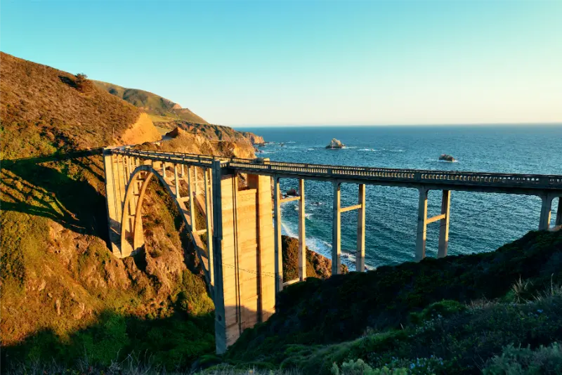
Big Sur is not a single town or viewpoint. It is a long, dramatic stretch of California coast where the road itself is part of the experience and where a ten-mile drive can take much longer than expected once you add pullouts, short hikes, construction controls and weather. Two days is a strong first-time format because it gives you time to enjoy the coast instead of treating Highway 1 as a corridor between Monterey and San Luis Obispo.
This itinerary assumes you are already comfortable with the wider region. If not, start with our Monterey, Carmel and Big Sur guide and our Highway 1 road-trip guide. Then use the plan below when Big Sur itself deserves two full days.
First: check Highway 1 before you commit to the route
Big Sur is unusually sensitive to landslides, winter storms, bridge work and emergency repairs. In October 2026 Highway 1 is open through Big Sur, but Caltrans continues to announce short-term construction closures and traffic controls. That means the correct planning habit is not memorizing one “open” status; it is checking again shortly before departure and again on the morning you drive.
Use the Caltrans QuickMap and the Caltrans District 5 updates. Download offline maps as well because mobile coverage is inconsistent along parts of the coast.
Where to sleep for a two-day Big Sur trip
If your budget allows it, staying in or near Big Sur reduces backtracking and lets you experience early morning and evening when day-trippers thin out. Lodging is limited and often expensive, so reserve early. If Big Sur lodging is unavailable, Carmel is the most convenient northern base. Cambria works better when your trip continues south and you are comfortable with a longer first or second day.
Do not book a cheaper room far inland without calculating the real extra driving. A hotel that saves money but adds 90 minutes each morning and evening can remove the very flexibility that makes a two-day visit worthwhile.
Day 1 morning: Carmel to Bixby Creek Bridge
Leave Carmel early and treat the first hour as scenic driving rather than a race to the first landmark. Stop only at safe, designated pullouts where your vehicle can leave the travel lane completely. Bixby Creek Bridge is iconic, but the small roadside viewpoints can become congested. If the obvious pullout is full, keep moving rather than creating an unsafe turn or roadside queue.
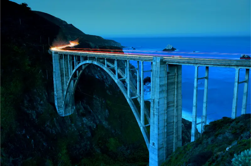
Morning light and lighter traffic make this stretch calmer. The bridge itself may take only 15–20 minutes, but the real value is the coastal sequence around it: cliffs, fog layers, ocean views and the transition from developed Monterey County into a much wilder landscape.
Day 1 midday: Point Sur area and Pfeiffer Big Sur State Park
Continue south toward the Big Sur River valley. Pfeiffer Big Sur State Park is useful because it gives you a different environment from the exposed coast: redwoods, river, shade and easier walking options. It also provides a natural midday break if coastal wind or sun has become tiring. Check current trail and parking information before arriving because conditions and access can change.
Families and older travelers often appreciate alternating viewpoints with short, shaded walks. You do not need to turn the first day into a strenuous hiking day. Big Sur rewards variety more than mileage.
Pfeiffer Beach: beautiful but not a casual roadside stop
Pfeiffer Beach is reached by a narrow access road and has limited parking. That means it should be treated as a planned stop, not something to squeeze into a crowded afternoon because a social-media list says it is “must-see.” The famous rock formations and purple-toned sand can be memorable, but wind and surf conditions may make the beach less relaxing than expected.
If parking access is backed up or conditions are poor, skip it without regret. There are many coastal viewpoints ahead, and forcing one difficult stop can cost more time than the experience is worth.
Day 1 afternoon and evening
Spend the later afternoon around the Big Sur River valley, a viewpoint south of town or your accommodation. If you have a dinner reservation, allow substantial margin because cellular navigation and driving times are less predictable than in a city. Big Sur evenings are better when you are not rushing back from a distant trailhead in darkness.
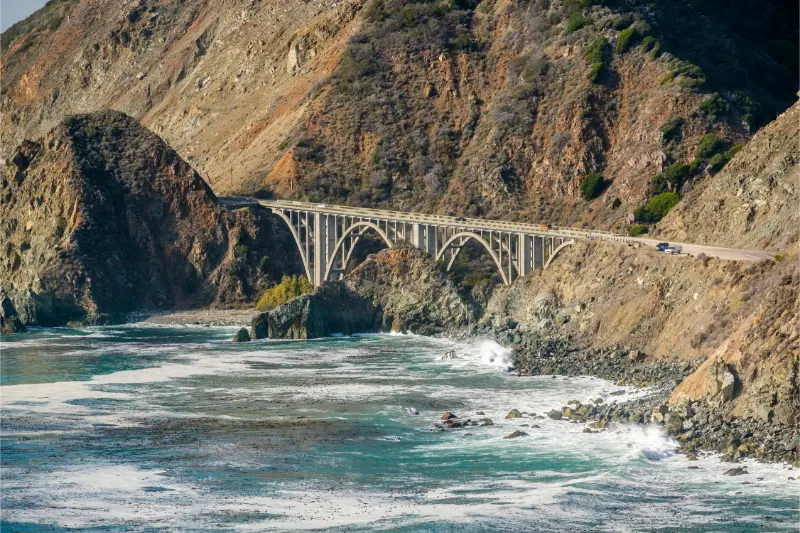
Sunset can be spectacular, but pull out before the light is gone and avoid walking along Highway 1 shoulders in darkness. Coastal fog can also erase a sunset completely; treat good light as a bonus rather than the success criterion for the day.
Day 2 morning: head south before the busiest traffic
Start early and continue toward Julia Pfeiffer Burns State Park. The famous McWay Falls viewpoint is a short stop compared with the long hikes people sometimes imagine. Trail access has changed over the years because of erosion and repairs, so check the current state-park information before your visit. Do not climb closed areas or descend toward the beach.
The waterfall is best understood as one element of a larger coastal landscape. Give yourself time to look south and north along the cliffs rather than taking one photo and immediately returning to the car.
Partington Cove or another short hike?
If trail conditions are favorable and your group is comfortable with elevation change, Partington Cove can add a more active experience. It descends toward the coast and returns uphill, so it is not the best choice for travelers with limited mobility or for families pushing a stroller. In hot, wet or windy conditions, choose a simpler alternative.
For a gentler day, use short forest walks and roadside viewpoints instead. Big Sur does not require a “hero hike” to feel worthwhile.
How far south should you go?
This depends on your next overnight stop and current road conditions. If you are returning to Carmel, set a turnaround time instead of an arbitrary geographic target. If you are continuing to Cambria or San Luis Obispo and Highway 1 is fully open, the southbound route can become the continuation of your trip. Our Central Coast road trip explains how to connect the rest of the coast without overloading one day.
Never assume that a route shown in a saved itinerary remains open. Big Sur is one of the places where current conditions outrank old travel plans.
Families, senior travelers and accessibility
With children, alternate scenic stops with places where they can move safely away from traffic. Keep snacks and water in the vehicle because services are limited. With older travelers, minimize repeated steep roadside access and choose a smaller number of viewpoints with reliable parking. Some state-park facilities offer accessible routes or viewpoints, but terrain remains uneven in many areas.
Anyone prone to motion sickness should sit where the winding road is easiest to tolerate and avoid reading while moving. Build real breaks into the drive rather than expecting every pause to be a photo stop.
What not to do in Big Sur
Do not stop in the roadway for a photograph. Do not trespass across private land to reach an “Instagram viewpoint.” Do not plan dinner, sunset and a distant hotel as if Highway 1 were a freeway. Do not leave visible luggage in the car at trailheads. And do not fill both days with every named stop between Carmel and Ragged Point.
The best Big Sur itinerary has empty space. If a viewpoint is quiet and the weather is good, stay longer. If fog removes the view, move on. Flexibility is not a backup plan here; it is the correct way to travel.
A realistic 2-day Big Sur summary
Day 1: Carmel departure, Bixby Creek Bridge, scenic pullouts, Pfeiffer Big Sur State Park, optional Pfeiffer Beach and a relaxed evening in the Big Sur area. Day 2: early southbound drive, Julia Pfeiffer Burns State Park and McWay Falls viewpoint, one additional walk or cove, then continue south or return north according to your wider itinerary.
That may look less ambitious than some online lists, but it gives you what Big Sur actually needs: daylight, road margin, weather flexibility and time to experience the landscape rather than just parking beside it.
Photography without creating traffic problems
Big Sur’s most famous images often come from roadside viewpoints, but the road is narrow and sightlines can be poor. Decide before each stop whether the vehicle can be completely removed from traffic. If not, continue to the next legal pullout. A longer lens can often create a better composition from a safer location than standing beside a busy shoulder.
Morning fog can be visually interesting rather than disappointing. Do not chase clear skies by driving aggressively up and down the coast. The landscape changes every few miles, and the safest photograph is the one taken after the vehicle is parked legally.
One final planning check
Before travel, reopen official pages for the places in this guide and verify hours, reservations, road conditions, weather and seasonal closures. California conditions change quickly, especially on mountain roads, coastal highways and at heavily visited attractions. Treat the itinerary as a framework, not a promise that every stop will operate exactly as it did when you first saved the article.
Keep one flexible block in the day and decide in advance which stop is optional. That small decision makes it much easier to adapt without turning a delay into a stressful family discussion.