California is famous for road trips, so it is easy to assume that visiting without a car is either impossible or a major compromise. That is not true—but the car-free version of California has to be designed around the places where transit is genuinely strong. San Francisco, parts of Los Angeles, San Diego, Sacramento and several coastal rail corridors can work very well. Remote national parks, desert landscapes and dispersed scenic highways usually cannot be reproduced with ordinary public transport.
The key is not asking whether “California” can be visited without a car. Ask which specific trip can be built without one. A seven-day San Francisco–Los Angeles–San Diego itinerary is possible with rail and local transit. A seven-day loop through Yosemite, Death Valley, Big Sur viewpoints and Sequoia is a different problem. This guide separates those two realities so you can decide where a car actually earns its cost.
Quick answer: when a car-free California trip works
| Decision | Practical answer |
|---|---|
| Best car-free cities | San Francisco is the easiest; central San Diego, Sacramento and selected Los Angeles districts can also work. |
| Best intercity tool | Rail works well on several corridors, especially Southern California and parts of Northern California. |
| Hardest destinations | Remote national parks, desert areas, dispersed Highway 1 stops and mountain trailheads. |
| Best compromise | Stay car-free in major cities, then rent only for the road-trip segment where it adds real value. |
The most important rule: build the trip around transit before booking hotels
A car-free trip fails when the traveler chooses hotels first and tries to solve transport afterward. In San Francisco, a hotel near useful transit can eliminate hundreds of dollars in parking and rides. In Los Angeles, a cheap room far from rail may force repeated rideshare trips that cost more than the hotel savings. In San Diego, staying near a trolley station can simplify downtown, Old Town and border-area travel but will not place every beach at your doorstep.
Map the daily route at the hour you expect to travel. Check the final half mile, not just whether a train serves the city. A station called “Anaheim” does not mean every hotel or theme-park entrance is walkable with luggage; a coastal rail stop does not guarantee easy access to a cliff-top viewpoint. The last connection determines whether the plan feels elegant or exhausting.
A realistic 7-day California trip without a car
Days 1–3: San Francisco
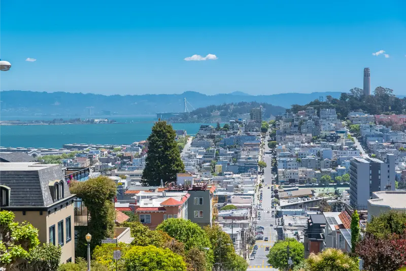
Spend the first three days in San Francisco using walking, Muni, cable cars where useful and selective rideshare. Group neighborhoods geographically: waterfront and Alcatraz on one day, Golden Gate and nearby areas on another, and central neighborhoods or museums on the third. Do not rent a car merely to keep it in an expensive garage while you use transit anyway.
Use our San Francisco first-time guide and the separate Alcatraz guide to build those days. If Muir Woods matters, use the reservation/shuttle system or an organized transfer rather than renting a car for a few hours and fighting limited parking.
Day 4: Fly or travel south strategically
For a one-week trip, flying between the Bay Area and Southern California can save a large amount of time. Rail is more scenic and can be part of the experience, but a full north-south train journey consumes much more of a short vacation. Choose rail because you enjoy train travel, not because a map suggests it is the fastest connection.
Days 4–5: Los Angeles with a limited geographic plan
Los Angeles can be visited without a car, but not efficiently if you try to cover Santa Monica, Hollywood, Downtown, museums and beach cities in one day. Pick a hotel near the attractions that matter most and use Metro for corridors where it works. Rideshare can bridge gaps, but repeated long rides across the city become expensive. A car-free LA stay benefits more than any other city from saying “no” to distant attractions.
Days 6–7: San Diego
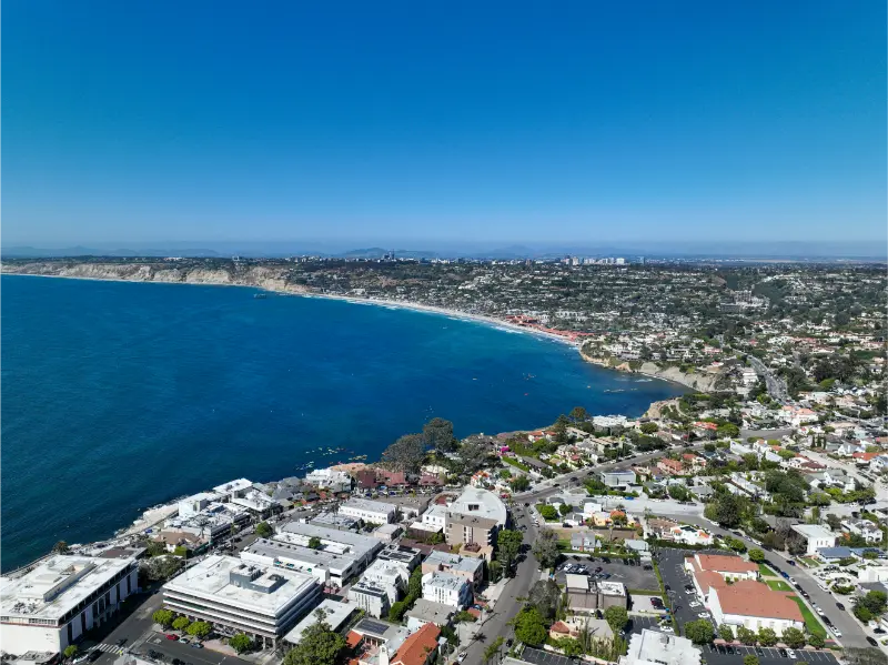
Travel south using the Pacific Surfliner corridor when the schedule and current service suit your dates. In San Diego, use the trolley and buses for central areas, then rideshare or bus for specific beaches such as La Jolla. Stay near a useful transit corridor rather than choosing a remote resort that forces a car for every meal.
Where trains are genuinely useful
The Pacific Surfliner corridor links major Southern California points including Los Angeles, Orange County and San Diego. The Capitol Corridor serves Sacramento, the East Bay and San Jose corridor, while other Amtrak services connect additional inland and long-distance routes. These are useful tools, but schedules and track work can change, so always check the operating timetable rather than relying on a travel article’s old departure times.
For a deeper route comparison, read California by train guide. The main principle is to use rail where stations are close to the places you actually want to sleep and explore. A train trip is not automatically car-free if the arrival station leaves you twenty miles from the final destination.
Can you visit Yosemite without a car?
Yes, but it requires more planning than a city trip. Seasonal and regional bus connections such as YARTS can connect gateway communities with Yosemite, and Amtrak can be part of the longer chain. Inside Yosemite Valley, shuttles and walking can cover many classic sights. The constraints are schedules, seasonality and limited freedom to change plans at the last minute.
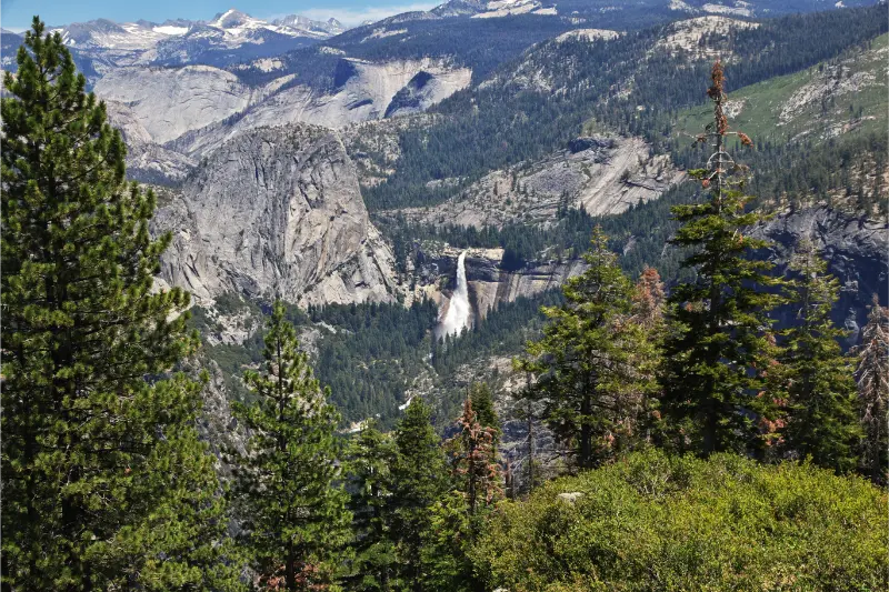
For a first visit, car-free Yosemite works best when you reserve lodging in or near the valley and accept that the itinerary will be more concentrated. It is less suitable for travelers whose priorities are remote trailheads, sunrise photography at scattered locations or combining Yosemite with Sequoia and the Eastern Sierra in a short period.
Destinations I would not force into a no-car itinerary
- Death Valley: distances are vast, heat can be extreme and transit does not reproduce a safe scenic loop.
- Joshua Tree: gateway towns and park highlights are spread out; a car or organized tour is usually the practical choice.
- Big Sur: public transport is limited relative to the dispersed viewpoints, trailheads and changing road conditions.
- Sequoia and Kings Canyon: seasonal shuttles help inside parts of the parks, but reaching and connecting major areas remains difficult without a vehicle.
- Eastern Sierra: Bishop and some towns have regional services, but the scenic lakes, Alabama Hills and trailheads are dispersed.
The hybrid strategy is often better than “car-free at all costs”
The smartest California trip often uses no car for the first and last city and a rental only in the middle. For example: three nights in San Francisco without a car, collect a rental when leaving for Yosemite and the Central Coast, then return it on arrival in Los Angeles or San Diego. This avoids urban parking while preserving freedom where public transport is weakest.
One-way rental fees can affect the calculation, so compare the total rather than assuming a split rental is cheaper. Include hotel parking, airport taxes, fuel and the cost of rideshares you would otherwise need. In expensive city centers, eliminating several parking nights can offset a higher daily rental rate during the road-trip segment.
Families with children
Car-free travel can reduce the stress of installing car seats, finding parking and keeping a tired driver alert, but transfers with strollers and luggage add a different kind of work. Choose fewer hotel changes and keep station-to-hotel distances short. A family of four should also compare transit fares and rideshare capacity with the cost of a rental car; the answer changes as the group grows.
For age-based pacing and family route design, see California with kids guide. A toddler-friendly car-free trip is usually city-heavy, while a school-age family may enjoy a rail segment between Los Angeles and San Diego as an experience in itself.
Older travelers and accessibility
Rail and urban transit can be excellent for travelers who prefer not to drive, but “car-free” is not automatically accessible. Transfers, station elevators, platform gaps, hills and long walks from stops matter. San Francisco in particular has steep terrain even when public transport is nearby. Build the route around step-free stations and short final connections rather than simply counting how many lines appear on a map.
When mobility equipment is involved, check each operator’s current accessibility guidance and reservation requirements. An occasional accessible taxi or rideshare may create a much better day than insisting on completing every segment by bus.
Luggage strategy matters more than most people expect
A rail itinerary feels easy until each traveler is moving a large suitcase, backpack and shopping bag through stations. Pack lighter than you would for a car trip and prefer hotels where luggage storage is available before check-in or after checkout. On transfer days, do not schedule a major attraction between hotel and station unless you know exactly where the bags will go.
For a longer trip, laundry access can be more valuable than extra outfits. The less luggage you carry, the more realistic walking and public transit become. This is especially important for families and anyone using mobility aids.
Budget: when no car actually saves money
A car-free itinerary saves the most money in cities with expensive parking and strong transit. San Francisco is the clearest example. In Los Angeles, savings can disappear if you use long rideshares several times each day. In a family group, four rail tickets plus local rides and luggage transfers can sometimes approach the cost of a rental, especially when hotel parking is free outside the core.
Compare two complete scenarios. Scenario A: rental rate, taxes, insurance choice, fuel, tolls and hotel parking. Scenario B: intercity tickets, local transit passes, rideshares and airport transfers. The cheaper result depends on the exact route, not a universal rule.
Common mistakes
- Choosing a cheap hotel far from useful transit and paying the difference in rideshares.
- Assuming every national park can be visited by public transport because Yosemite has some bus connections.
- Booking intercity rail before checking how far the arrival station is from the hotel.
- Planning too many scattered Los Angeles districts in one car-free day.
- Carrying so much luggage that every transfer becomes a major physical task.
- Refusing a short rental segment even when it would transform a difficult remote itinerary.
Useful California for You guides
Use California by train guide, California airport guide, 10-day California road trip, Los Angeles first-time guide, San Diego first-time guide and our San Francisco guide to compare the car-free and road-trip versions of the same vacation.
Official transport resources
- Amtrak California services
- BART
- LA Metro
- San Diego MTS
- YARTS Yosemite Area Regional Transportation System
Final advice
California without a car is completely realistic when you choose destinations that reward it. San Francisco, a focused Los Angeles stay, San Diego and selected rail corridors can produce a rich trip with less parking stress. The mistake is turning “no car” into an ideology and forcing remote parks into a transport network that was never designed for that style of sightseeing.
Design the route in layers: city days without a car, rail where the station-to-station connection is strong, and a short rental or organized tour for landscapes where flexibility matters. That hybrid approach often gives you the best parts of California while reducing both cost and driving fatigue.